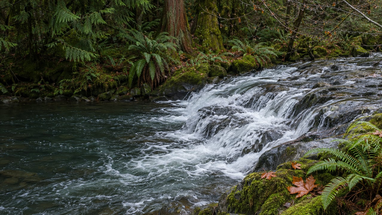
Part of what you hear at Whatcom Falls this week is Lake Whatcom draining on purpose. Every autumn the City of Bellingham opens the gates of the control dam at the head of Whatcom Creek. It brings the lake down about three feet from its summer level and holds it there through February. Whatcom Creek is the only stream that flows out of the lake, so all of that water passes through Whatcom Falls Park on its way to the bay. The heavy white water under the stone bridge on a gray Thanksgiving morning comes partly from rain and partly from a schedule the City has posted.
Three feet of lake, sent down the creek
Lake Whatcom supplies drinking water to more than 100,000 people. The City says daily use has stayed around 9 million gallons for the past 35 years. Because the lake is also a reservoir, the City watches its level around the clock and runs the dam gates to hit a target for each season. The City's Lake Whatcom water level page gives the year in four stages:
- Around February 15 the City starts raising the lake toward 314.5 feet, storing spring rain for the dry months.
- From April through September it holds the lake at 314.5 to 314.6 feet for as long as it can.
- Around September 15 the gates open, and the lake drops gradually toward 311.5 feet through September and October.
- From November through February the City keeps the lake near 311.5 feet to leave room for big storms, and the level rises and falls around that target as storms pass.
So by the time this post goes up, the drawdown is done and the lake is in its winter stage. The extra water released in September and October has already gone over the falls. From here, the creek carries whatever the City lets through the gates to stay near 311.5 feet, plus the rain, groundwater and stormwater that drain into Whatcom Creek below the lake. The City notes that, like other urban streams in the region, Whatcom Creek usually runs low in late summer and higher through the winter. The elevations are in the City of Bellingham's own vertical datum, which runs about 1.7 feet higher than the national NAVD88 figures, so they won't match a standard survey map.
The same City page has an interactive dashboard with current and past lake levels, Whatcom Creek flow and rainfall. That puts the creek's condition one browser tab away. If you'd like to see the falls at their fullest, check the creek flow line after a wet few days, then head to the Silver Beach Road entrance.
How far the creek swings in a single year
The City has measured how much the flow through the park changes. In its 2014 urban stream monitoring, discharge at Derby Pond, inside Whatcom Falls Park, ranged from 4.8 cubic feet per second on May 13 to 584 cubic feet per second on April 26, with a median of 99 for that year. The high is roughly 120 times the low. Both readings came within about three weeks of each other in spring 2014, so the creek can change dramatically between visits even in the same season. Downstream at Dupont Street, the same report recorded 17 to 653 cubic feet per second in 2014, averaging 122.
Treat those as one year's readings, not a forecast for this winter. They show how much the creek varies within a year, and the stretch past Derby Pond is where the difference is easiest to see.
The bridge over the spillway has new decking
Derby Pond is also where many residents cross the creek, and that crossing was closed last winter. Cascadia Daily News reported in January that the Derby Pond Bridge, above the Whatcom Creek spillway, closed in December 2025 because its decking had deteriorated. Crews removed the old boards, laid treated wood, re-secured the chain-link railing and reopened the bridge. The City also planned new steel gangways where the trail meets the bridge at each end.
If you skipped the Derby Pond loop last winter during the closure, it's open again. Standing on the bridge with water going over the spillway beneath you is one of the clearest places in the park to see how much water the lake is sending downstream. Our August guide to the park covers the two entrances and the Derby Pond and Whatcom Creek loop if you need a refresher on the route.
Why the City limits winter peaks
The City's flow management increases the lake's outflow in fall to support native fish habitat. It reduces winter peak flows to protect salmon redds, the gravel nests where eggs spend the winter. It also extends flows into late winter and early spring to help steelhead migrate. The City lists salmon habitat in Whatcom Creek as one of the four factors that shape how it manages the lake level, along with the maximum lake elevation, available water and drinking water demand.
Most of those fish stay well downstream of the park. In a 2023 column, Cascadia Daily News described the creek's runs ending in pools below the lower falls of Whatcom Creek in downtown's Maritime Heritage Park. They come from Bellingham Technical College's Perry Center hatchery near the creek mouth, which has raised fall chum for about four decades. The chinook program began in 2018 and is co-managed by BTC, the Lummi and Nooksack tribes and the state. The same column notes that a small number of chinook get over the falls when there is enough water and reach spawning grounds upstream, where restoration work has been done to prepare for them.
That makes the timing useful for a neighborhood outing. The Nooksack Salmon Enhancement Association gives the local chum spawning season as October through January. The City's own salmon-viewing suggestions include the footbridge at Maritime Heritage Park. On a winter weekend you can see the falls at full flow in the morning and the salmon at the end of the same creek in the afternoon.
Why the banks get replanted by hand
The creek corridor through the park has been restored by hand before. A Whatcom Watch report from 2000 describes crews reshaping the Whatcom Creek streambed and adding woody debris for fish cover. In the first weeks of April 2000 they planted more than 2,000 native trees, mostly conifers, along with wild cherry, alder and cottonwood.
That planting work continues this winter. The City and the Nooksack Salmon Enhancement Association have scheduled a community work party in Whatcom Falls Park for Saturday, December 12, from 10 a.m. to 1 p.m. Volunteers will pull invasive plants and plant native shrubs near Whatcom Creek. According to the Volunteer Bellingham sign-up page, volunteers park at Bloedel Donovan Park, 2214 Electric Avenue, and follow signs about a quarter mile to the check-in tent.
Starting at Bloedel Donovan suits the theme of this post. That lot is on the shore of Lake Whatcom, and the walk to check-in follows the water from the lake into the creek that runs through the Whatcom Falls neighborhood. By December 12 the lake should be in its winter stage, near the 311.5-foot target, and the creek will be carrying its outflow. Bring gloves and boots you don't mind getting muddy.
At Julian & Company, we think the creek's calendar is as much a part of living in Whatcom Falls as the street names. If you're curious how a home near the park fits into this market, whether it's on the Electric Avenue side or within earshot of the falls, we'll walk you through it. Get your free home valuation and start the conversation.